
Home / Services / Digital Twin Cities
Cities, accurate to. the centimetre.
UAV-LiDAR and photogrammetry-based 3D digital twins of entire cities — survey-grade accuracy for planning, engineering and simulation.
Curated — Digital Twin Cities
The signature
One living model of your whole city — every street, facade, utility corridor and terrain feature — accurate enough to engineer against.
Capabilities
From flight plan
to living model.
UAV-LiDAR & Photogrammetry Capture
Flight-planned aerial LiDAR and imagery capture at city scale, tied to ground control.
Point-Cloud Processing & Reconstruction
Classification, meshing and texturing from billions of points into usable models.
GIS & Planning Integration
Twins delivered into the GIS and planning systems your teams already run.
Simulation & Analysis
Flood, drainage, visibility, volumetrics — questions asked of the model, not the street.
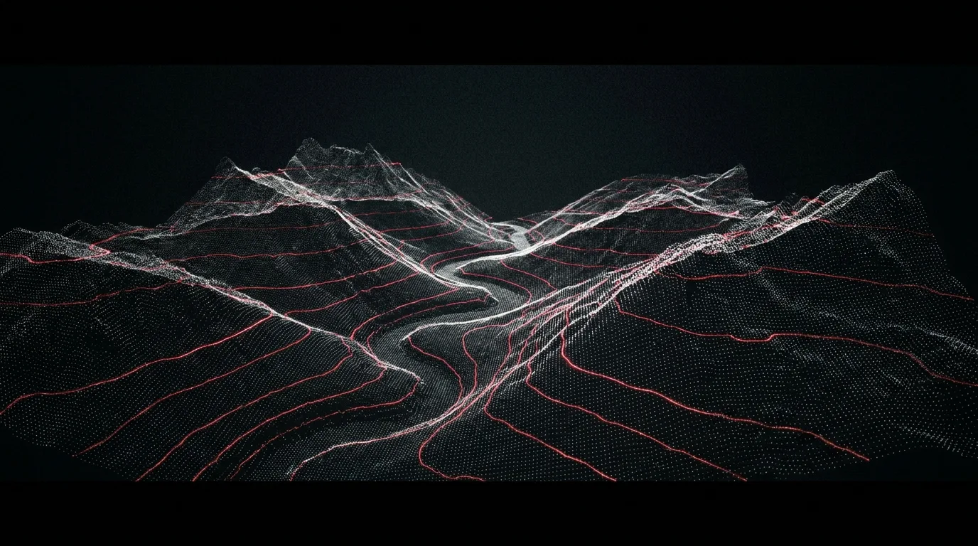
A city, rebuilt from points — move your cursor
How we work
Plan. Capture.
Process. Deliver.
Plan
Flight plans, permissions and ground control networks.
Capture
UAV LiDAR and imagery flown at city scale.
Process
Billions of points classified, meshed, textured.
Deliver
GIS-ready models, portals and update cycles.